Peter J Baldwin
Charting CON-ditions of [un]certainty
Null Island/Plastic Beach;
“Funny thing is from a distance it looked idyllic, but once you got close you could see that it was just landfill” (Nichols, 2010)
Existing in the liminal territory between fiction and reality Null Island is, statistically, the most visited place on Earth. Originally created as the resolution to an algorithmic anomaly (which causes coordinates to be erroneously set 00N, 00E) the Island provides an absolute (and default) cartographic reference for navigation databases. Null island is but one example of a growing number of (in)tangible, para-fictional, locations that, via the all-pervasive smartphone (and of course other devices), influence our daily lives. We are drawn, inexorably, into a superposition-ing (Eisenman 1999) of the physical and digital.
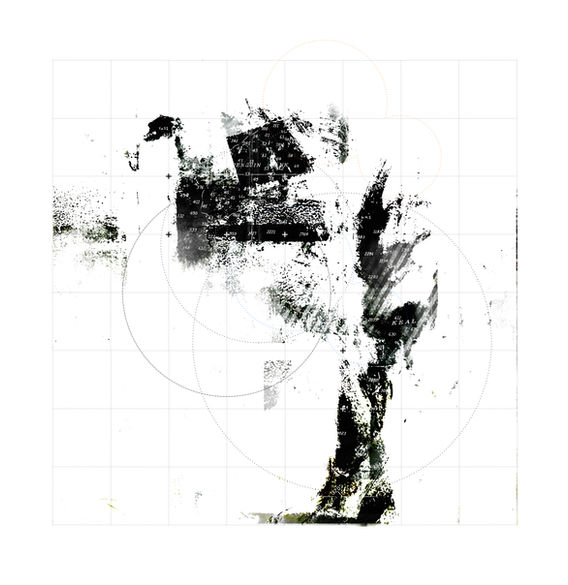
“Charting Null Island” explores the conceptual augmentation of Architectural drawing and diagramming with Cartography (Deleuze & Guattari 2004) as a means of understanding this new territory for design. Whilst outwardly similar, architectural drawing and map making, address fundamentally different conditions; Architectural drawing observes a representation of a possible reality, Cartographic drawing represents a possible observation of the real.
“Neither a map nor a model of an existing geography this environment is a virtual model of data as if it were geography” (MVRDV, 1999)


